Welcome to order maps and brochures!

Here you can buy the Kattegattleden cycling map and accompanying brochure and the Hallandsleden hiking maps.

The Halland visitor map, which shows the way to excursion destinations, and the brochure Your guide to Kattegattleden are free to order.
Kattegattleden – Cycling map with accompanying brochure

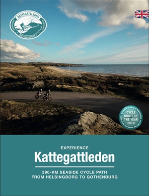
The cycling map consists of trail maps at a scale of 1:100,000 and urban maps at a scale of 1:15,000. The total distance is approximately 390 km. The map includes accommodation, food & drink, attractions, bicycle repair shop/bicycle rental, tourist information and other useful information marked on the map. Elevation curves, road types, surface and urban maps are also included. The map is in Swedish, English and German.


In the brochure you will find information and inspiring tips and attractions along the trail, divided into the eight different stages along the trail. The brochure is available in three different language versions; Swedish, English or German.

Select variant
In Stock
150 kr
Patch Kattegattleden

Blue and white fabric patch with embroidered border. Can be sewn or heat-sealed onto your jacket or bag. Diameter: 75mm

In Stock
60 kr
Your guide to Kattegattleden - Brochure

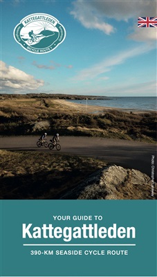
A small folder, free of charge, with short information about the bicycle trail Kattegattleden.

Select variant
In Stock
0 kr
Hallandsleden - Hiking maps

Hallandsleden is a lowland trail that runs through the whole of Halland and offers wonderful nature experiences. The trail connects to the Skåne Trail in the south and to the Bohus Trail in the north. On its way through Halland, it divides into an eastern and a western stretch. The two stretches join in the Åkulla area, east of Varberg and in Gyltige north of Simlångsdalen, east of Halmstad.

Hallandsleden is available in three map sheets/partial trails. The trail map is at a scale of 1:50,000 and printed on weather-resistant paper. The maps are only available in Swedish. Year of publication 2022.

NOTE. There have been trail redrawings on some stretches and these are not included in the printed maps with year of publication 2022. Please stay updated on the current trail route via the digital map at www.hallandsleden.se

2022 year editions are currently selling for 30 SEK/piece. Please note that they may contain deviations from the current route.

We are currently working on developing new maps that will be sold here shortly.
Plan your hike at www.hallandsleden.se

Hallandsleden - Northern sub-route
Kungsbacka - Varberg

Hallandsleden - Middle sub-route
Falkenberg - Hylte

Hallandsleden - Southern sub-route
Halmstad - Laholm

Select variant
In Stock
30 kr
Tourist Map Halland
Tourist Map Halland

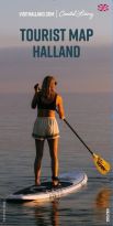
Tourist Map Halland shows you the way to different tourist destinations and how to download the app A day in Halland. The Tourist Map is available in swedish and english.

Plan your visit to Halland on www.visithalland.com

Publishing year: 2025

Select variant
In Stock
0 kr
An error has occurred. This application may no longer respond until reloaded. Reload 🗙